

Utility corridor planned along both sides of Golden Ring Road, NMRDA speeds up work
NMRDA is fast-tracking the feasibility study and DPR for the 173-km Golden Ring Road, designed as a self-funding economic corridor.
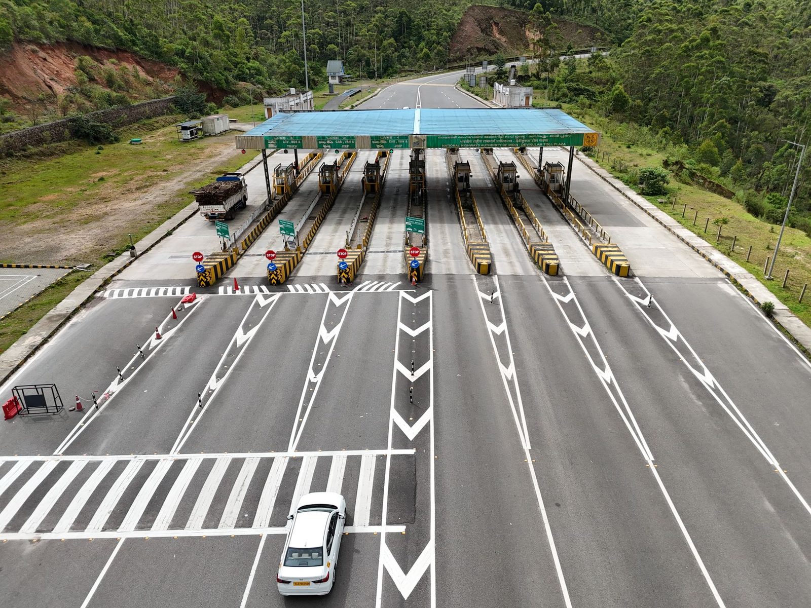 Images are not validated/verified
The Nagpur Metropolitan Region Development Authority, or NMRDA, has begun fast-tracking work on the feasibility study and detailed project report (DPR) for the Golden Ring Road, also being called the third ring road. The road will be about 173 kilometres long. Notably, it will not just be a simple bypass for vehicles but is being planned as an economic corridor that can recover its own construction and maintenance costs. The financial model being drawn up places special emphasis on a dedicated utility corridor.
NMRDA has already directed that separate space be designed under the road dividers and right-of-way of the main highway for laying gas pipelines, water mains, power transmission cables and telecom companies' optical fibre cables. This utility space will be leased out to government and private companies for the long term. The plan also includes installing solar panels and wind turbines along the corridor to generate and sell clean electricity.
Work is progressing rapidly on this dream project of Chief Minister Devendra Fadnavis. Under the supervision of authority commissioner Sanjay Meena, a consultant agency is likely to be appointed soon to prepare the blueprint for this third outer ring road project.
Instead of relying only on toll tax, NMRDA has also planned commercial monetisation of the project. Eight nodal development pockets are being identified across the full 173-km stretch. These will include IT, logistics, industrial and agro-processing hubs, along with a medical city and an educational city. Way-side amenities will be built every 50 kilometres for the convenience of travellers and heavy vehicle drivers, including petrol-diesel pumps, EV charging stations, food plazas, motels, rest areas and emergency trauma centres.
For the topographic survey of the outer ring road, NMRDA has made it mandatory to use more accurate aerial LiDAR technology instead of drones. Laser scanners fitted under a plane or helicopter will create a 3D digital map of the entire 173-km route, eliminating scope for error in resurveying the land.
Dedicated logistics and transport parks will be built along the ring road, along with truck lay-bys. Freight traffic and trucks coming from Mumbai, Hyderabad, Jabalpur and Amravati will be able to reach their destinations directly via this outer ring road without entering the city. This is expected to significantly ease the city's traffic congestion, while also reducing accidents and pollution on the inner roads.
